
GIS & utility mapping
RTK GIS Mapping & Utility Asset Inspection
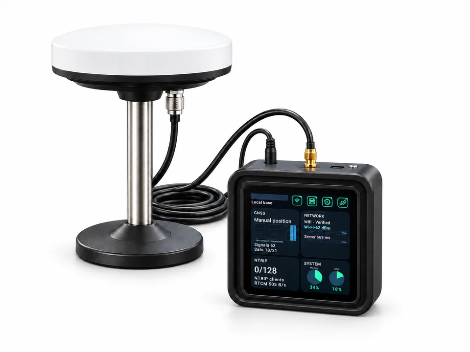
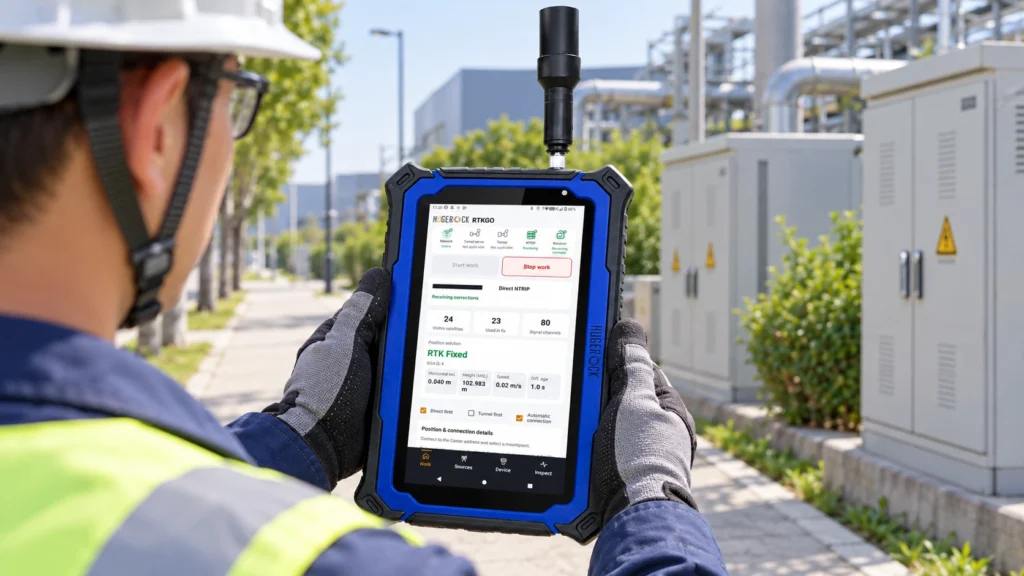
Connect GIS field teams to GNSS reference corrections for utility asset mapping, infrastructure inspections and spatial data collection. Match G60M, G71M or G80M to the map and attribute workflow.