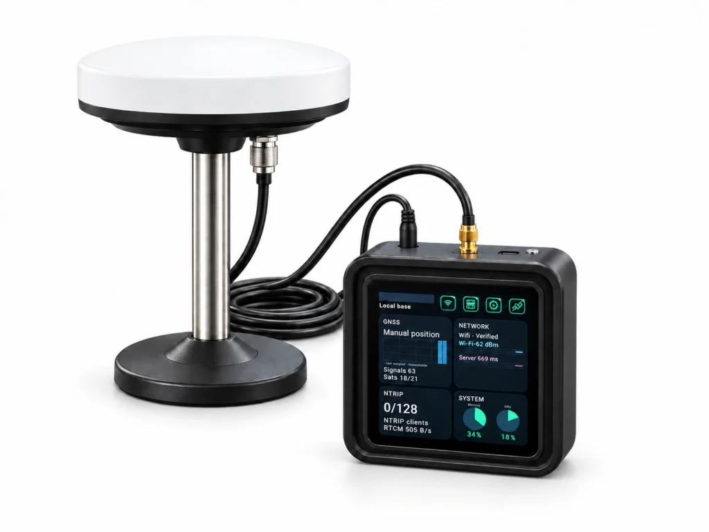
Build your own GNSS reference service with GB30: an integrated local base station and NTRIP Caster on a low-power ARM platform. Connect professional RTK handhelds, field tablets, rovers and industry terminals.
Quotation on request · DC 9–24V · RS232 / RS485 / RJ45
Application illustration · integration depends on machine configuration
01/ 04
Base + CasterOne integrated GB30 platform
1.5WTypical power / 2W at full load
256 + 8Default client terminals + uplink stations
4,000Up to 4,000 simultaneous clients in direct NTRIP mode
THE REFERENCE-TO-FIELD SYSTEM
Small footprint. Connected possibilities.
Follow the correction data, from a fixed reference point to professional RTK equipment.
01 / ESTABLISH THE REFERENCEOne complete kitMain unit · external GNSS antenna · mounting stand · coaxial cable
REFERENCE NETWORK 8 + 1
02 / CONNECT THE NETWORK1.5W typicalGB30 main unit · 2W at full load · external equipment excluded
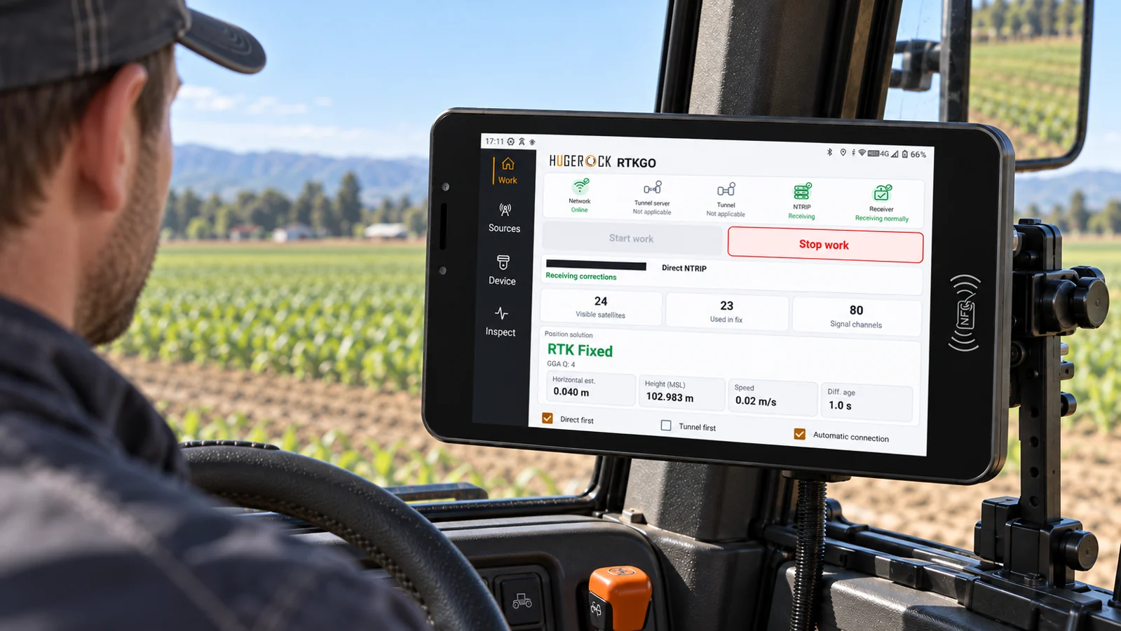
03 / PUT CORRECTIONS TO WORKReference to fieldSurveying · agriculture · construction · vehicle integration
01 / ESTABLISH THE REFERENCE
A fixed point. A dependable starting point.
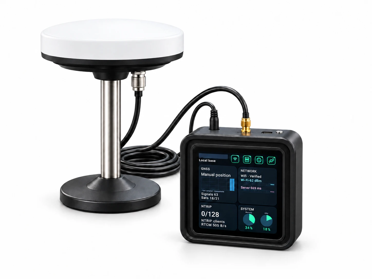
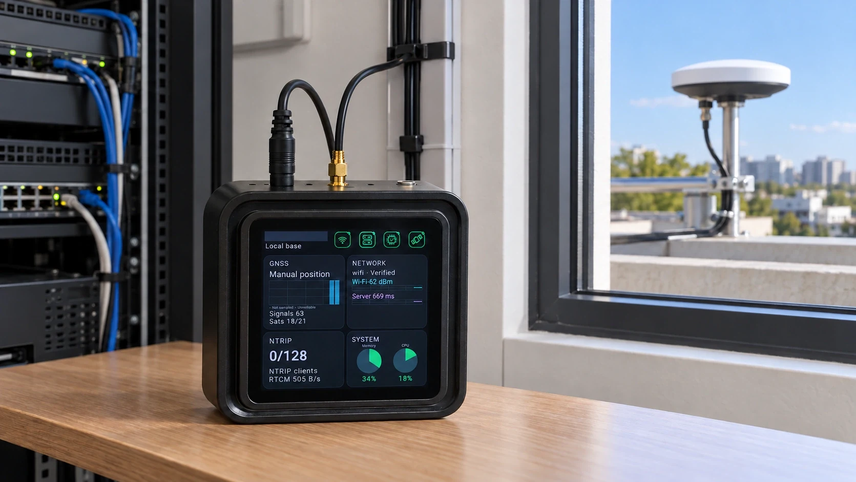
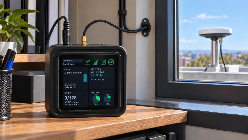
Place the GNSS antenna at a stable outdoor reference location. Keep the GB30 main unit protected indoors, with DC power and the antenna cable connected to its SMA input. USB-C is for debugging only.
One complete kitMain unit · external GNSS antenna · mounting stand · coaxial cable
In Local Base Station mode, GB30 serves its own reference source and up to eight independent uplink sources. Choose direct NTRIP or a compatible network tunnel for your deployment.
1.5W typicalGB30 main unit · 2W at full load · external equipment excluded
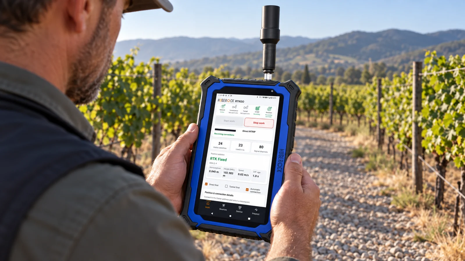
Connect professional RTK handhelds, rugged tablets, mobile rovers, machine terminals and other compatible industry equipment. Select the reference mountpoint suited to each work area.
Reference to fieldSurveying · agriculture · construction · vehicle integration
Network diagram and application scenes are illustrative. Reference sources remain independent; coverage and positioning performance depend on the installation and operating conditions.
FIXED REFERENCE INSTALLATION
Indoor GB30. Outdoor antenna.
A fixed reference point begins with the right installation.
Fix the antenna.
Mount the GNSS antenna outdoors at a stable reference location with a clear view of the sky.
Connect the DC and SMA.
Connect the DC supply to the round power input and the antenna coax to the gold SMA input. Leave USB-C disconnected during normal operation; it is for debugging only.
Configure and verify.
Connect to an available network, choose the operating role, then check source and client status.
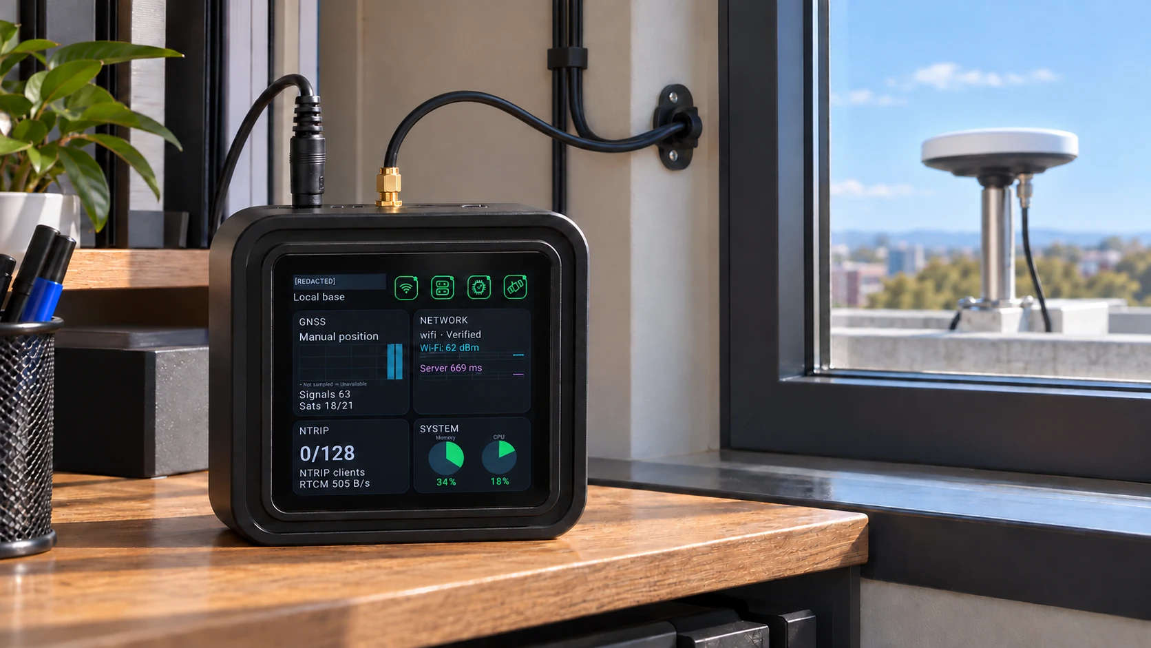
Fixed outdoor antenna · protected indoor GB30
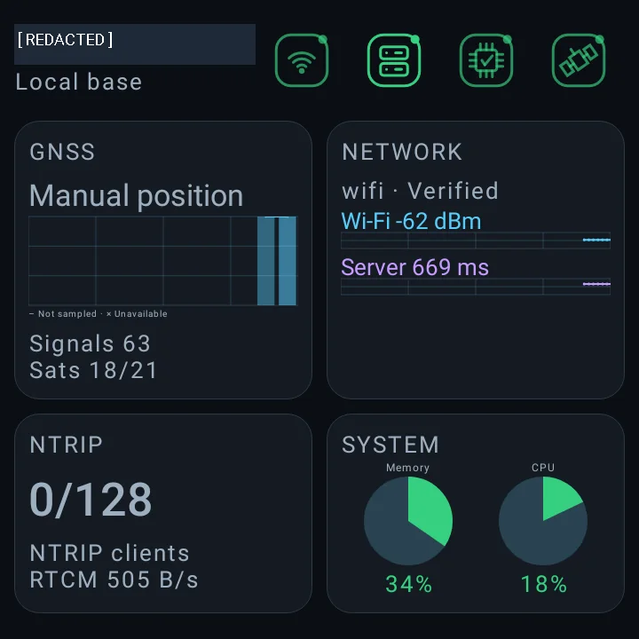
Monitor GNSS, network and correction-service status from the built-in display.
VISIBLE OPERATION
Know what your reference service is doing.
Review the running state from the built-in display.
GNSS
Reference position, satellite signals and receiver status.
Network
Connectivity, signal strength and service reachability.
NTRIP
Client connections and correction data activity.
System
Memory and processor activity.
TWO CONNECTION PATHS
Connect the way your site needs.
Direct NTRIP and network tunnelling support different network environments.
DIRECT NTRIP
A reachable reference service.
Connect compatible industrial RTK devices through a direct NTRIP connection.
Up to 4,000 simultaneously online clients.
Default configuration: 256 client terminals.
Requires a reachable NTRIP service, such as a suitable local network or public IP setup.
NETWORK TUNNEL
Less network configuration.
Connect through a tunnel where a dedicated public network setup is unavailable.
No public IP. No port forwarding. No dedicated line.
Internet access and a compatible tunnel client are required.
The 4,000-client direct NTRIP figure is not a tunnel capacity claim.
CITY REFERENCE NETWORKS
Nine reference points. One GB30 hub.
Eight uplink GB30 stations provide independent reference sources to one GB30 in Local Base Station mode.
The central GB30 serves its own source, L00, and the eight uplink sources, U01–U08. Field terminals can access a nearby source for their work area.
Separate sources remain independent. Select the mountpoint suited to each work area; reference streams remain independent.
Illustrative 8 + 1 layout · approximately 10km between adjacent reference points. Actual service coverage depends on site conditions and positioning requirements.
THE FIELD DEVICE RANGE
The right RTK device. Built for your work.
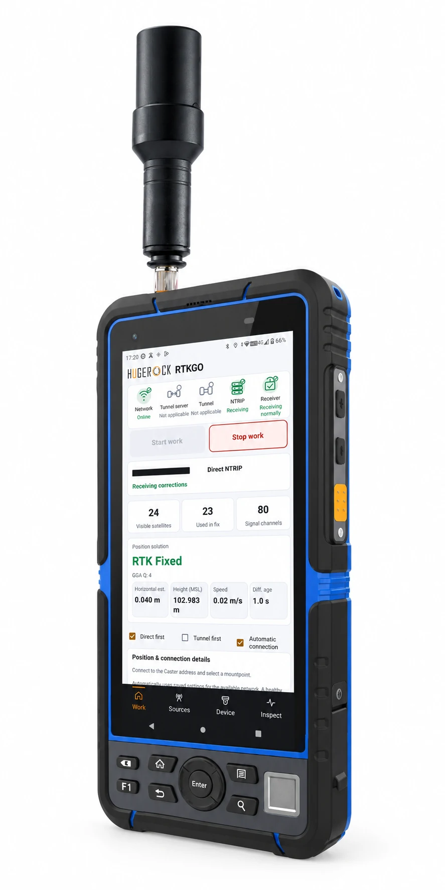
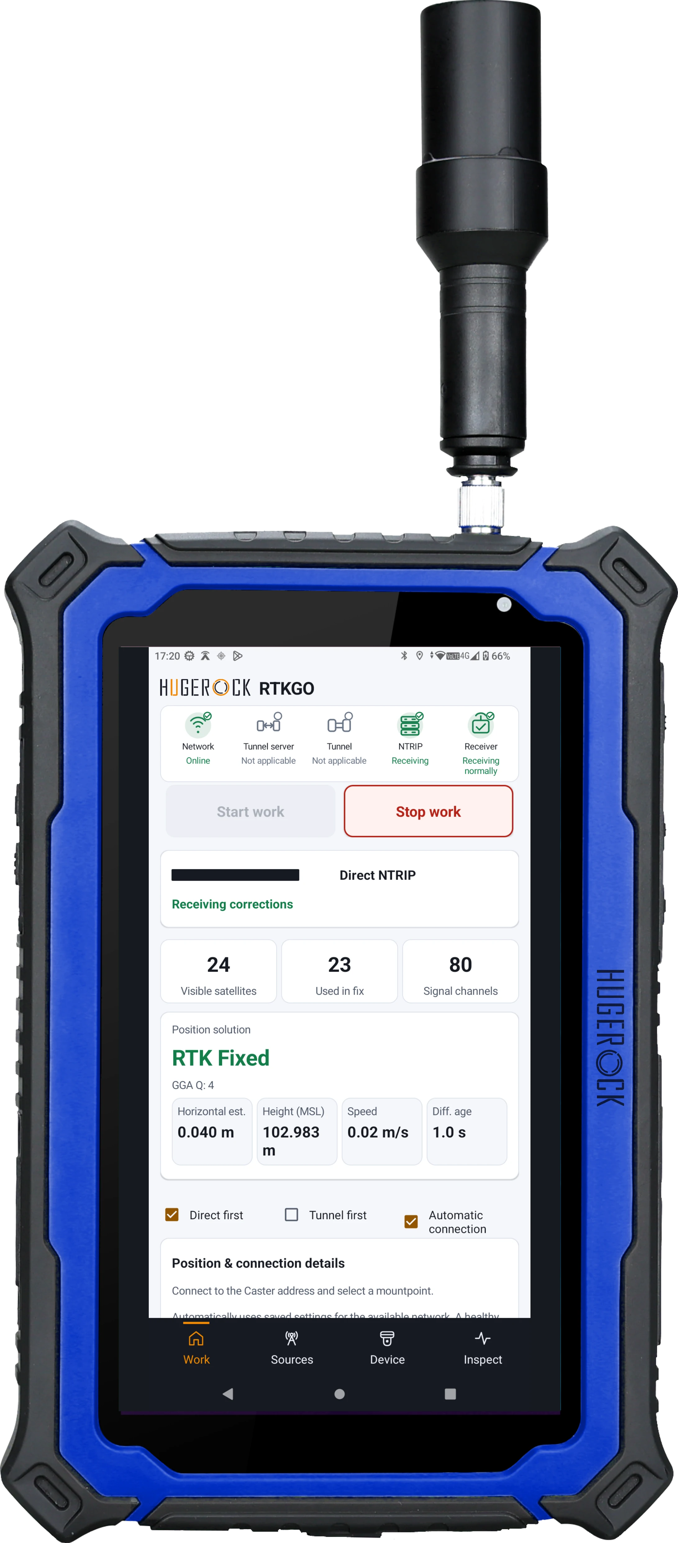
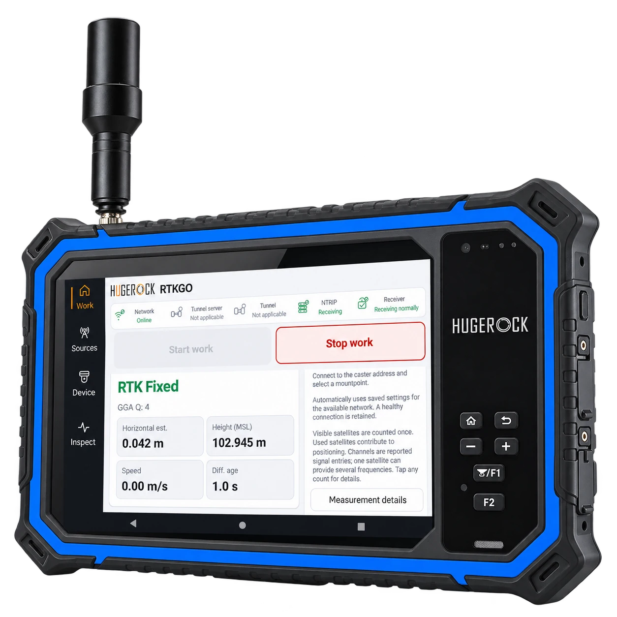
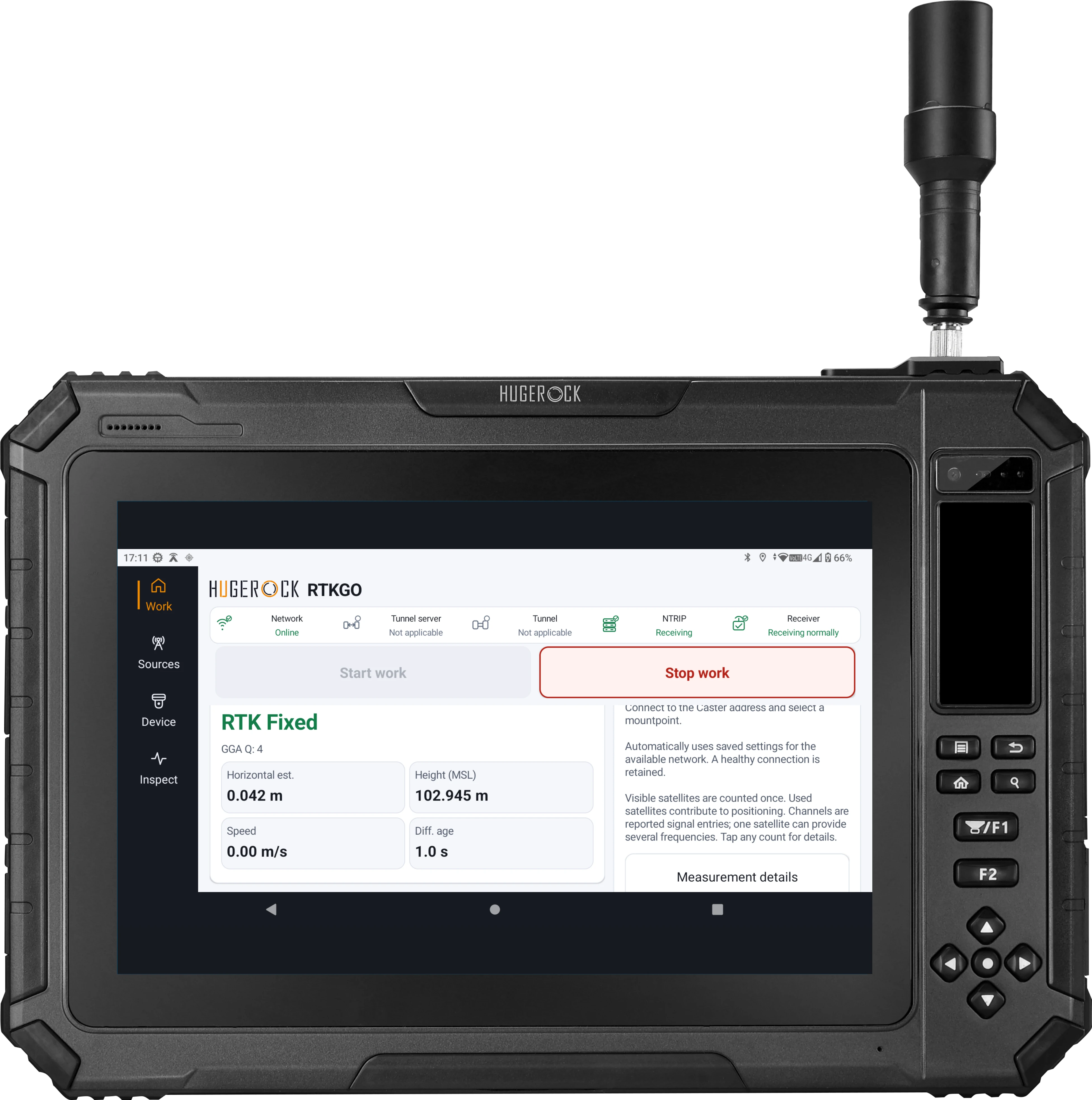
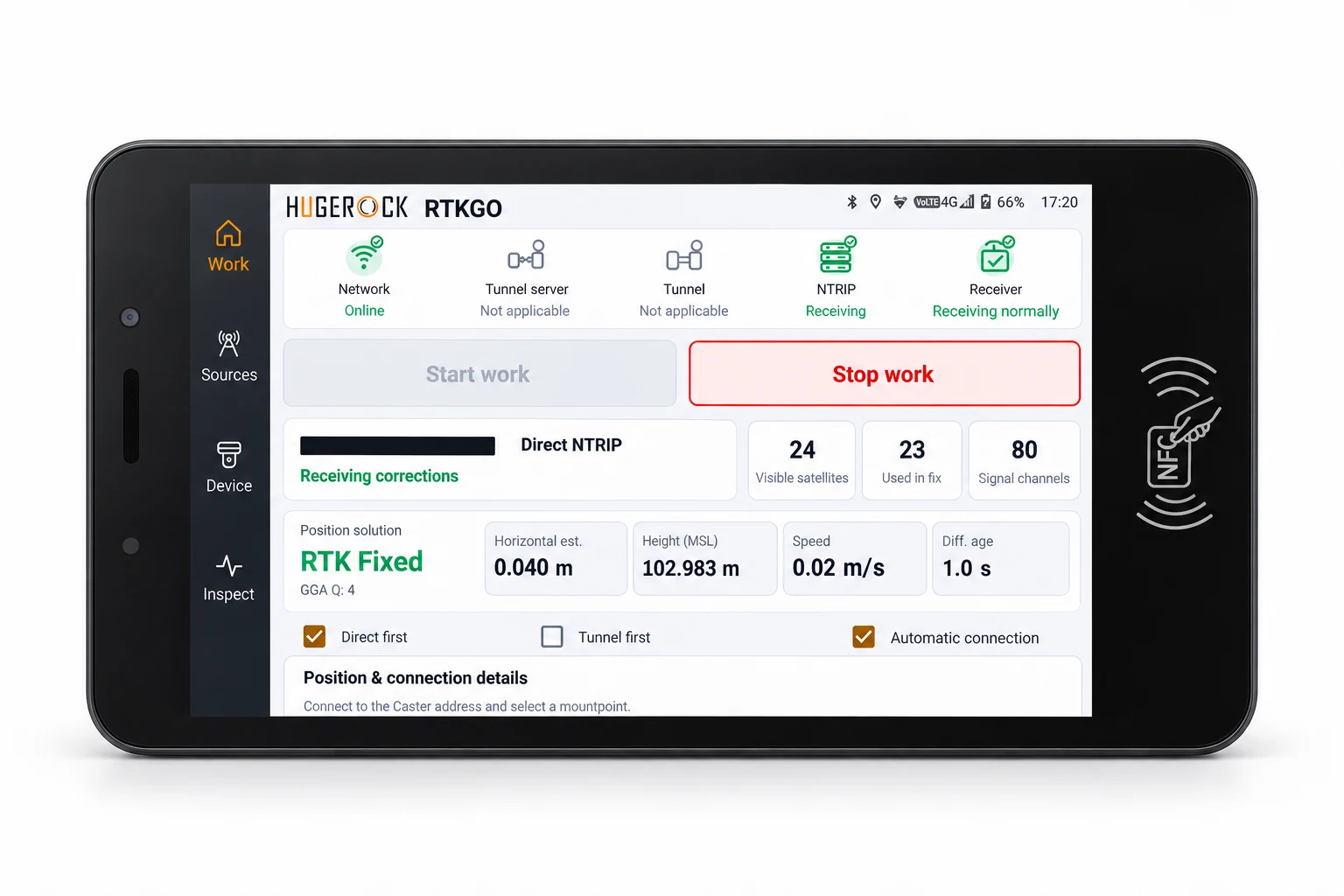
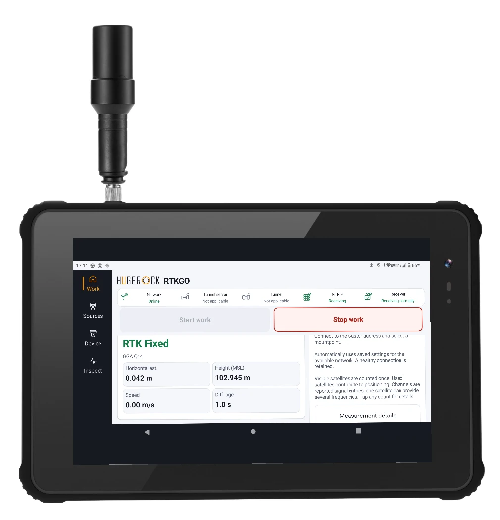
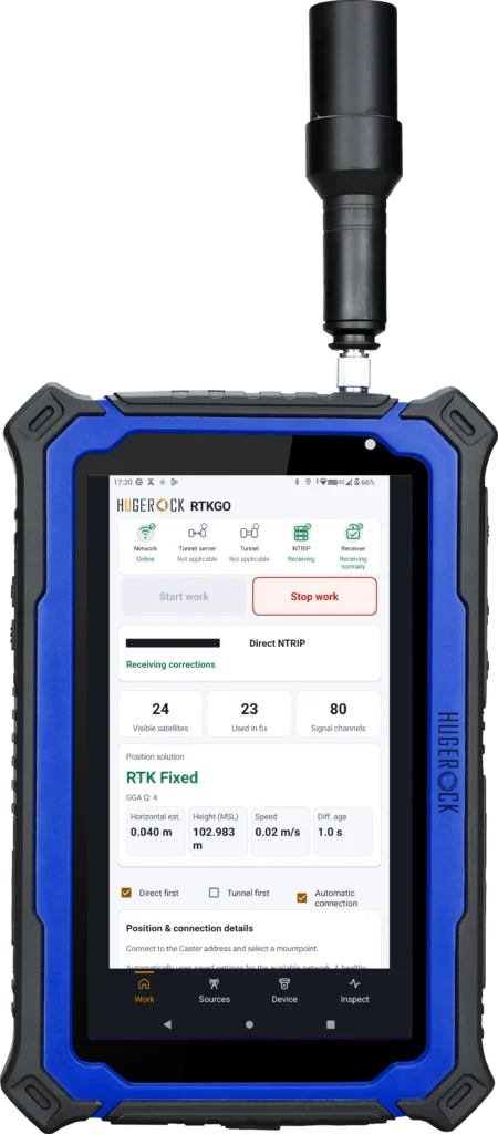
Rugged handhelds, field tablets and a dedicated vehicle terminal.
HUGEROCK develops rugged handhelds, tablets and fixed terminals for industrial work, supported by industrial design, hardware, software and production capabilities.
RTKGO connects GB30 reference infrastructure with professional RTK field devices.
RTK correction infrastructure, from reference to field
HUGEROCK RTKGO brings fixed GNSS reference infrastructure and professional RTK devices into one deployment workflow. Start with a GB30 complete reference kit, then select field equipment and a correction-data connection for your application.
What is the difference between an RTK base station and an NTRIP Caster?
A GNSS reference base generates correction data from a fixed reference point. An NTRIP Caster distributes correction streams to compatible clients. In Local Base Station mode, GB30 performs both functions in the same device.
Which RTK equipment can connect to GB30?
Compatible RTK handhelds and tablets, rovers, agricultural and vehicle positioning terminals, and robotics positioning systems can receive corrections. Direct NTRIP requires a reachable service; network tunnels require internet access and compatible client software.
Choose a correction-data connection for your GB30 deployment. Compare reachable direct NTRIP endpoints with network tunnel access that avoids public IP addresses, port forwarding and dedicated lines.
Install a fixed GB30 GNSS reference station with the antenna outdoors and the main unit indoors. Plan stable mounting, SMA antenna cabling, DC power, reference coordinates and correction-service acceptance checks.
Choose professional RTK equipment by work format: a compact handheld for mobile capture, a rugged tablet for maps and records, or an externally powered terminal for vehicle integration.