The operating challenge
Reference setup, project grids, changing obstructions and site equipment can affect field observations. Consistent source settings and acceptance checks help prevent different teams from working from inconsistent references.
 RTKGO
Request a quote ↗
RTKGO
Request a quote ↗
Connect field checks and layout activities to a documented reference installation. Choose handheld portability or a larger field tablet around the actual drawings, software and work posture.
For: Construction survey managers, civil engineering contractors and site technology teams
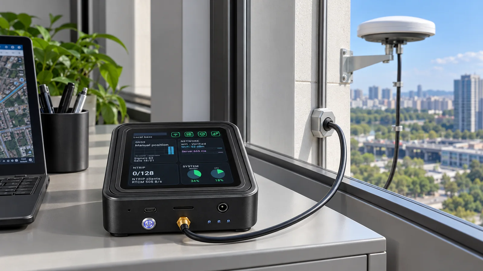
A civil contractor has survey staff checking positions at different parts of an active development. The team maintains one accepted site reference, distributes its correction source through GB30, and uses the approved field application to compare observations with project drawings and control points.
Reference setup, project grids, changing obstructions and site equipment can affect field observations. Consistent source settings and acceptance checks help prevent different teams from working from inconsistent references.
Use a GB30 complete kit at a stable reference point with the main unit indoors. Connect compatible rovers or selected RTK field devices to its NTRIP source. Review additional reference locations when the work area, baseline or visibility requires them.
Confirm control coordinates, local grid or transformation requirements and the reference antenna installation.
Load the approved project data and verify the positioning input and output formats in the selected application.
Evaluate known points at representative working distances and obstruction conditions before accepting the workflow.
Record changes to reference setup, site conditions and application configuration; revalidate after relevant changes.
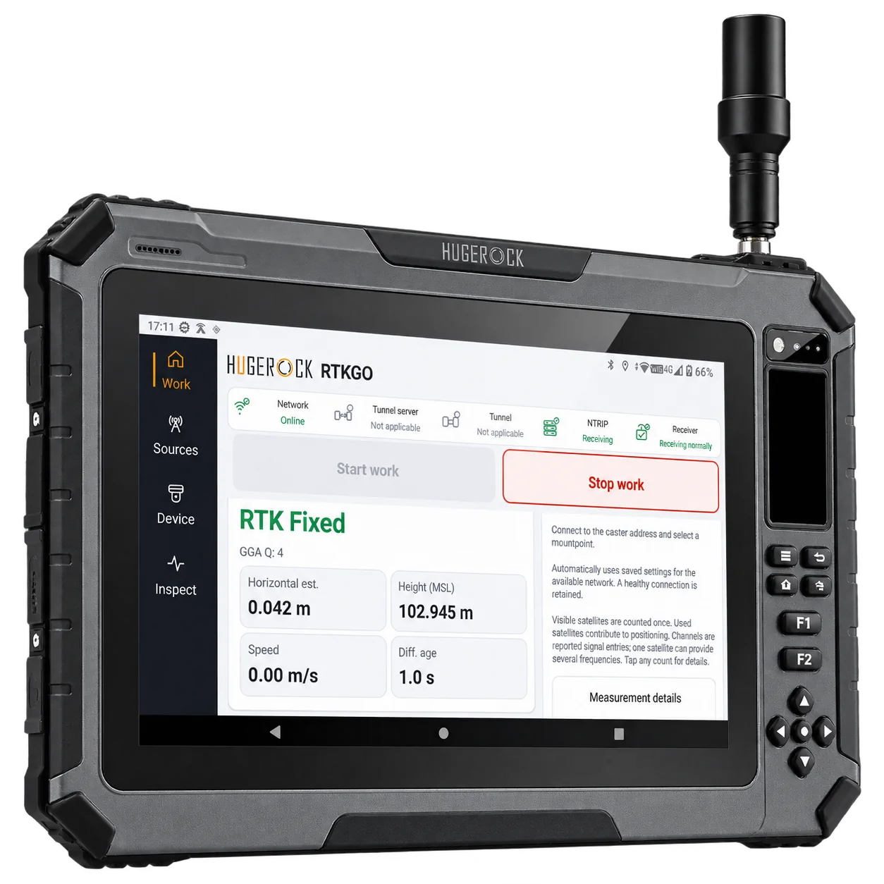
Large-screen RTK field tablet
Review specifications →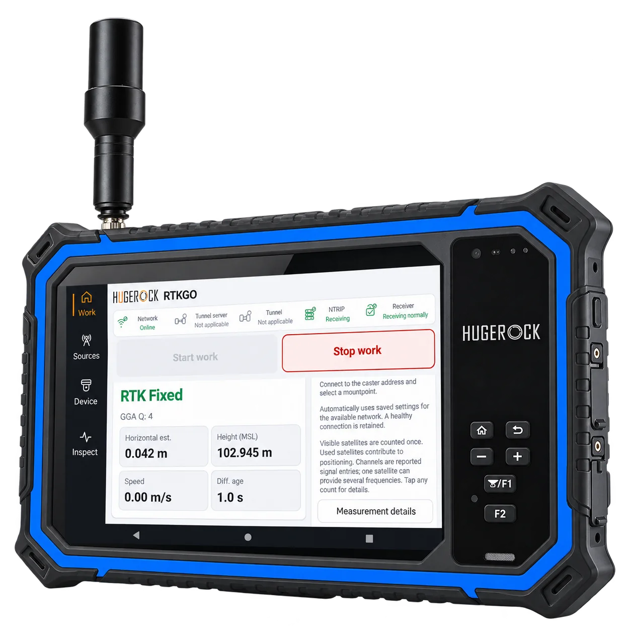
Landscape RTK field tablet
Review specifications →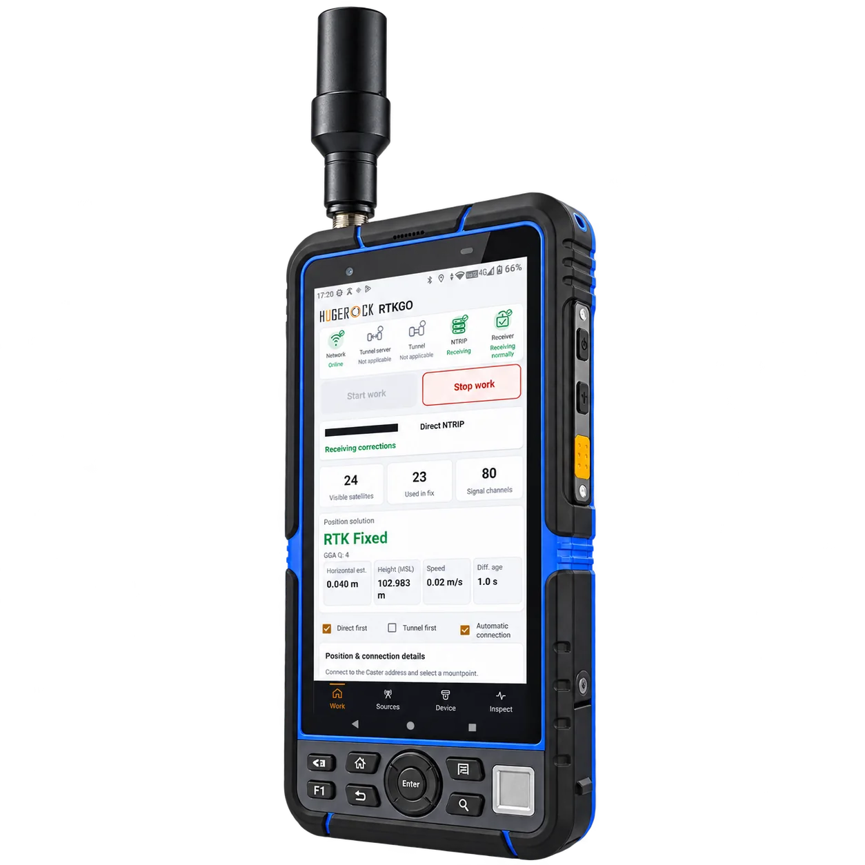
RTK handheld
Review specifications →Confirm the shipping configuration, field application, receiver access and installation requirements. Robot-side and machine-side receivers may be separate industry equipment.
RTKGO covers correction connectivity and receiver status. Construction layout, CAD review and project-file support depend on the application selected for the device.
No. Compare screen area, weight, mounting and carrying needs. G101M suits a larger field workspace; G80M is a smaller landscape alternative, while G60M prioritizes handheld portability.
Coverage and acceptable baselines depend on site size, conditions, installation and positioning requirements. Validate representative locations instead of assuming a fixed coverage radius.
Give survey crews a known correction source for control checks, topographic observations and repeat site visits. GB30 keeps the local reference base and NTRIP Caster in one indoor unit.
Explore this solution →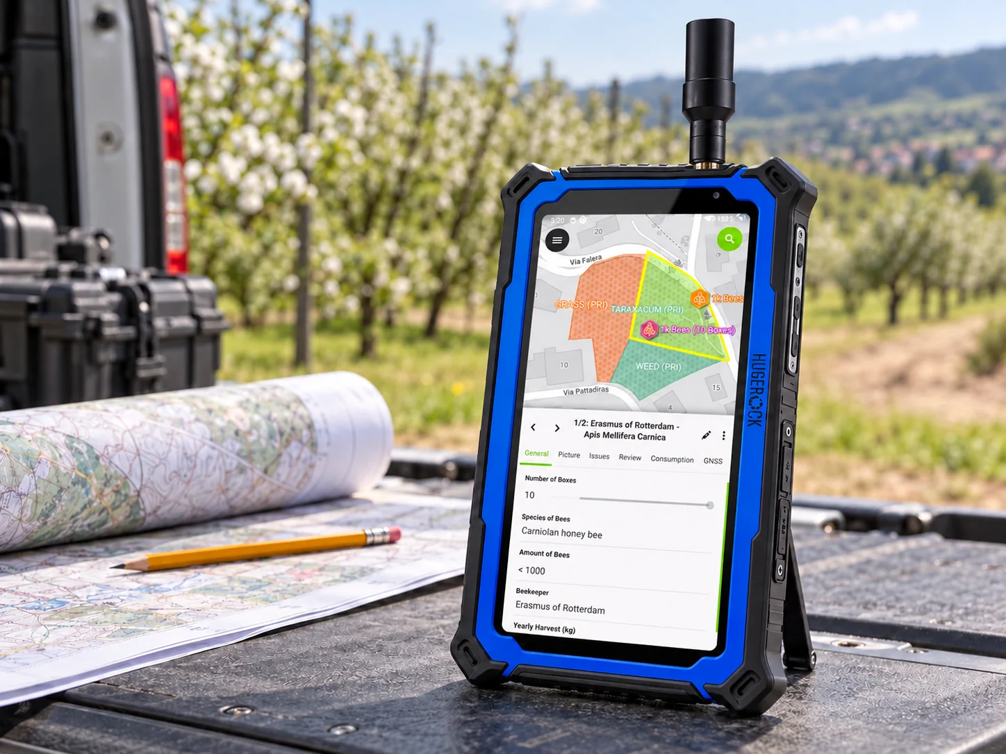
Support repeatable utility mapping and inspection workflows with a known reference source, a rugged field workspace and a clear data-quality procedure.
Explore this solution →Application illustration. QField interface adapted from OPENGIS.ch documentation · CC BY-SA 4.0.
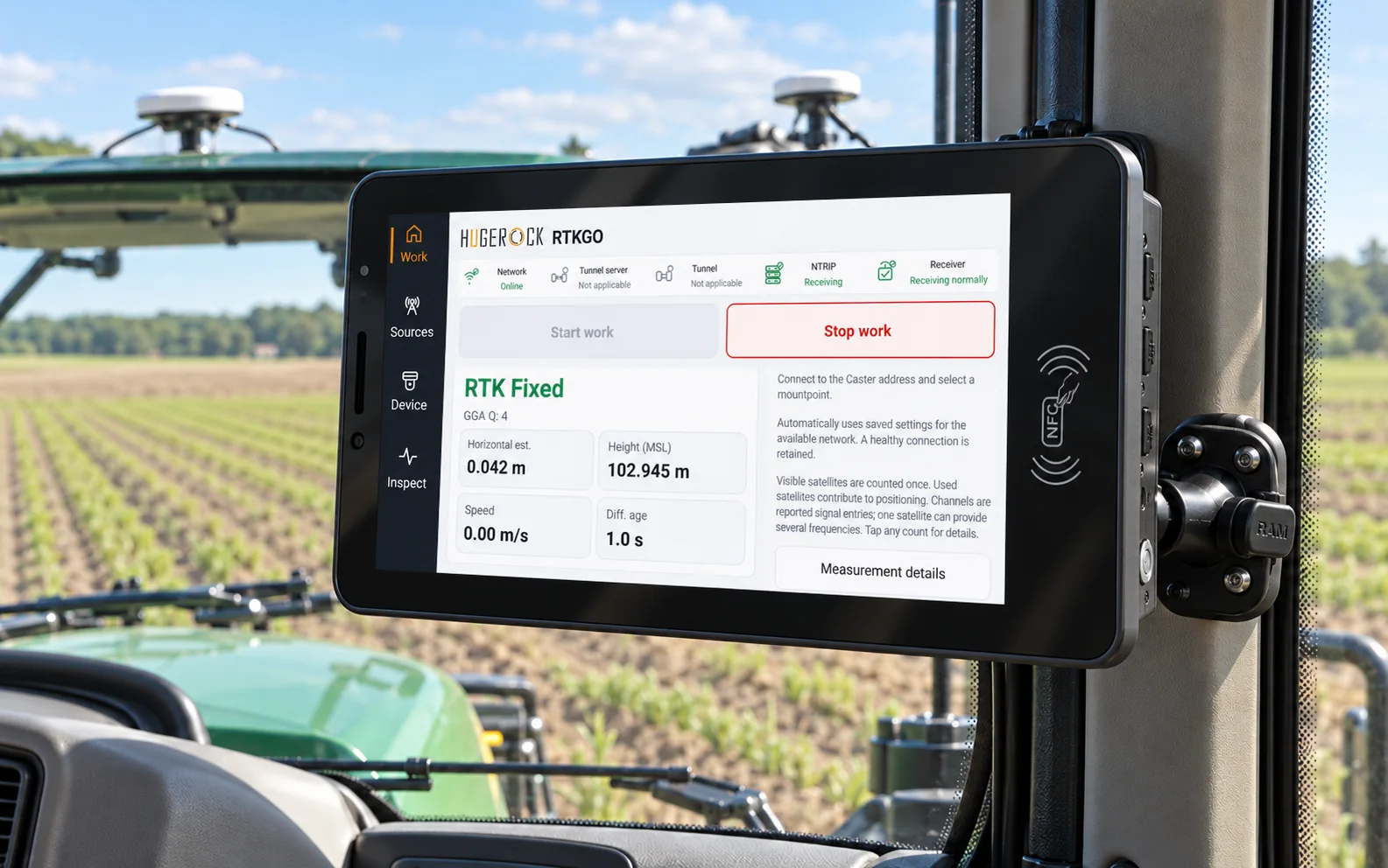
Combine an appropriate reference source with a vehicle terminal, antenna arrangement and host interface. Treat power, positioning, heading and application behavior as one integration review.
Explore this solution →