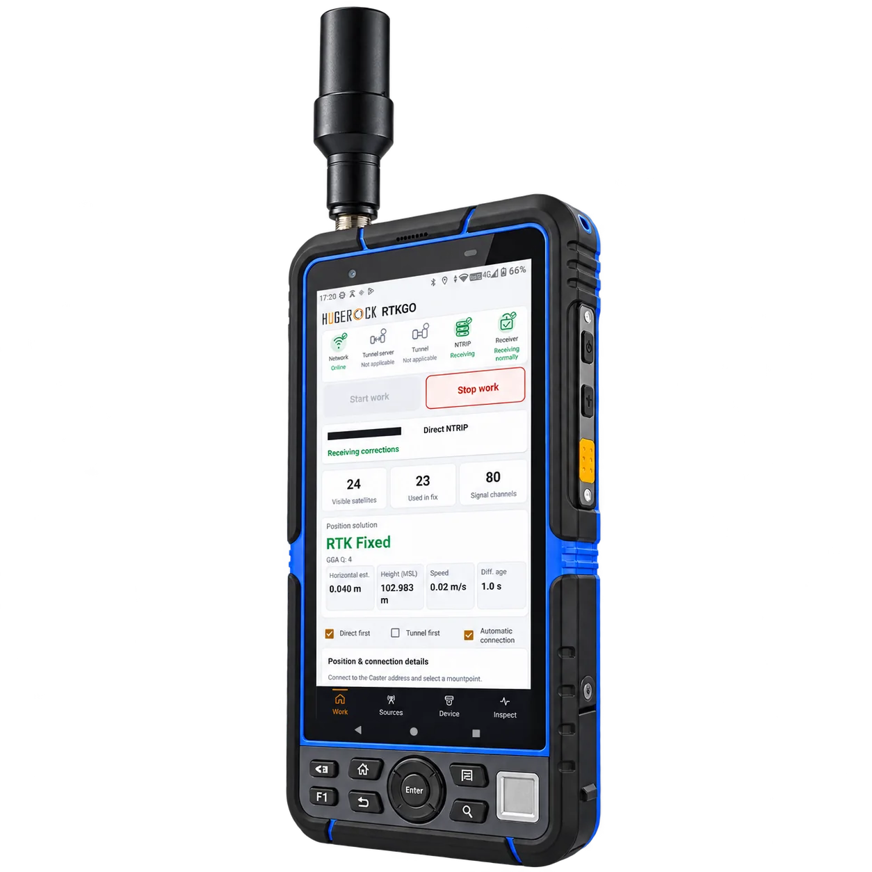
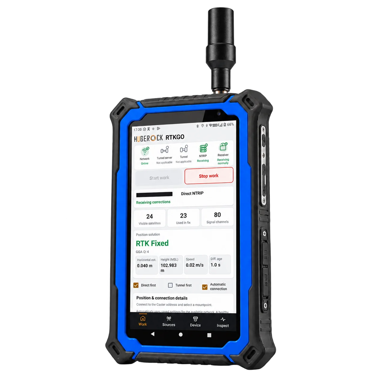
The operating challenge
The reference coordinates, antenna setup and correction source must stay consistent between crews and visits. A connection icon alone does not confirm that observations are suitable for the project.
 RTKGO
Request a quote ↗
RTKGO
Request a quote ↗
Give survey crews a known correction source for control checks, topographic observations and repeat site visits. GB30 keeps the local reference base and NTRIP Caster in one indoor unit.
For: Survey contractors, geomatics teams and engineering survey managers
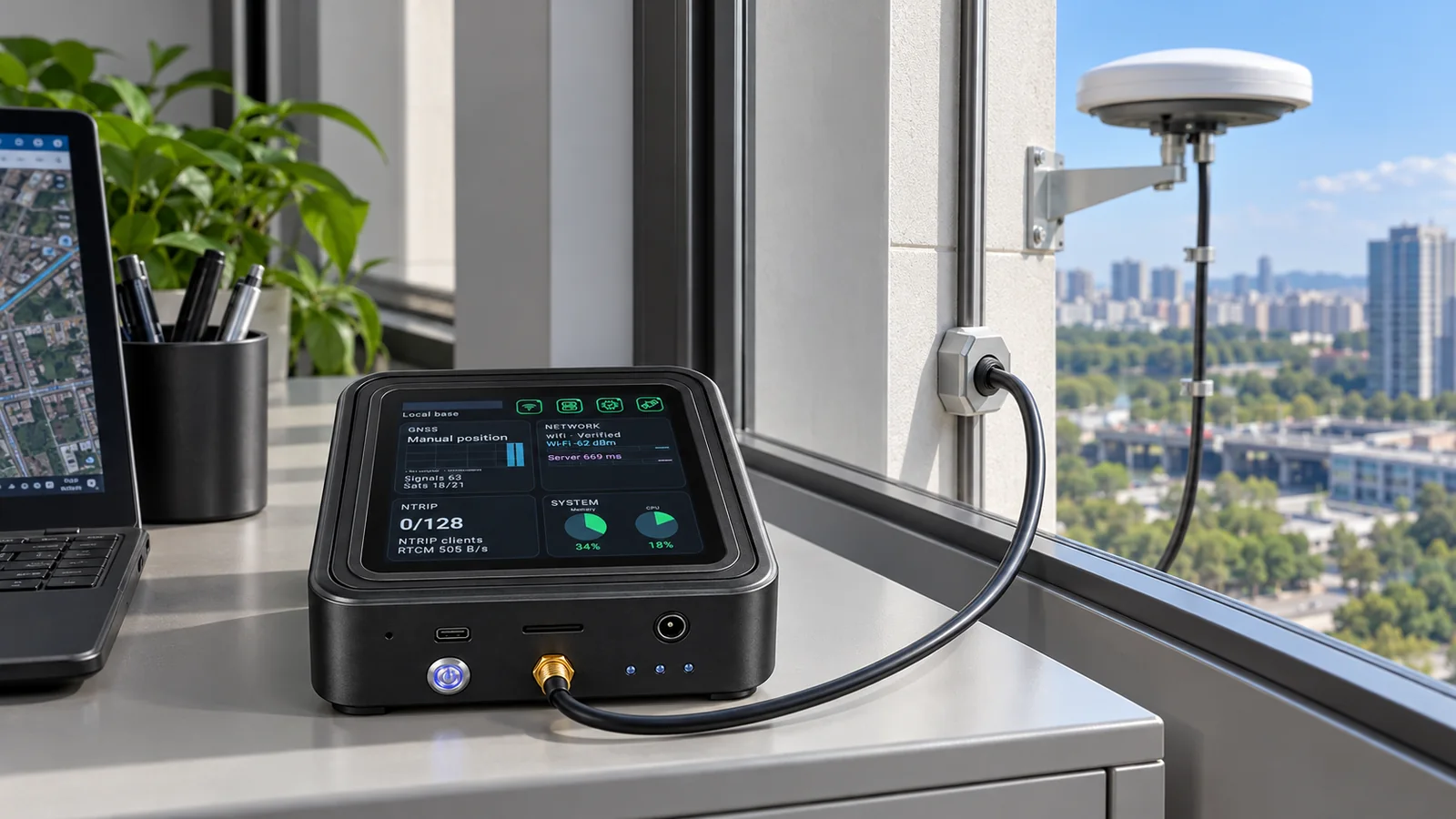
A survey contractor returns to the same development area over several project stages. Instead of treating each visit as an isolated setup, the team fixes an outdoor GNSS antenna at a stable reference point, keeps GB30 powered indoors, and gives each rover or RTK handheld the appropriate NTRIP source settings.
The reference coordinates, antenna setup and correction source must stay consistent between crews and visits. A connection icon alone does not confirm that observations are suitable for the project.
Start with one GB30 complete kit in Local Base Station mode. Its own reference source is served by the integrated Caster. Use direct NTRIP when the service is reachable, or a compatible network tunnel when a dedicated public IP is unavailable.
Verify the antenna monument, coordinate reference frame, height convention and antenna reference before accepting the base coordinates.
Configure the source mountpoint and credentials in the compatible rover or RTK client. Use RTKGO to inspect connection and receiver status on the selected HUGEROCK device.
Observe an independent check point and review solution status, correction age and antenna conditions before accepting field data.
Record the base coordinates, mountpoint, antenna setup and acceptance checks so the next crew uses the same project reference.
Confirm the shipping configuration, field application, receiver access and installation requirements. Robot-side and machine-side receivers may be separate industry equipment.
In Local Base Station mode, GB30 combines its own GNSS reference source with the NTRIP Caster in one ARM device. Field receivers, antenna installation and project validation are still required.
No. Validate reference coordinates, baseline, sky visibility, antenna setup, correction age and independent check points against the project requirements.
Compare G60M for a compact handheld workflow and G71M for a larger, bright portrait workspace. Confirm the surveying application, GNSS access method and final antenna configuration.
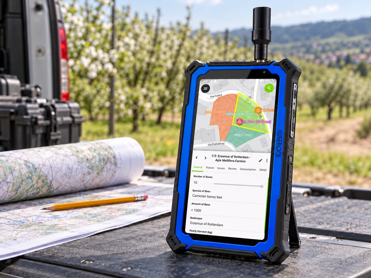
Support repeatable utility mapping and inspection workflows with a known reference source, a rugged field workspace and a clear data-quality procedure.
Explore this solution →Application illustration. QField interface adapted from OPENGIS.ch documentation · CC BY-SA 4.0.
Connect field checks and layout activities to a documented reference installation. Choose handheld portability or a larger field tablet around the actual drawings, software and work posture.
Explore this solution →Connect multiple fixed reference points to a central GB30 in Local Base Station mode. Serve its own local source and independent uplink sources through the integrated NTRIP Caster.
Explore this solution →