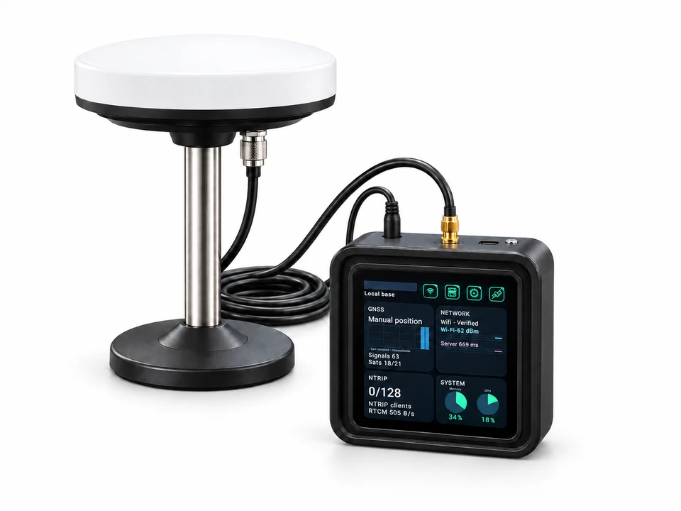
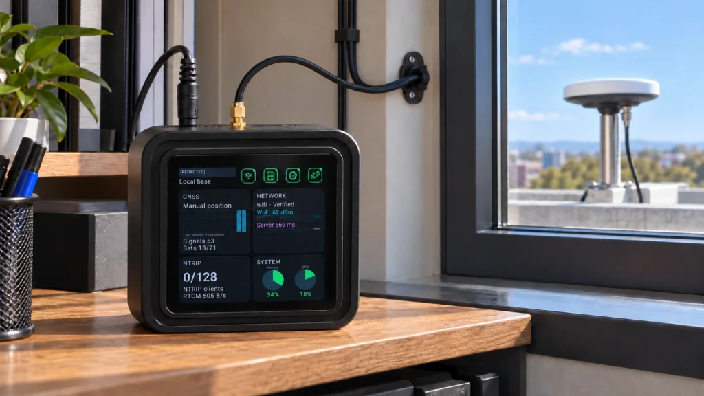
Plan GNSS reference infrastructure and professional RTK field workflows for land surveying, GIS utility mapping, precision agriculture, construction, vehicle positioning and outdoor robotics.
Plan a multi-site GNSS reference network with one GB30 local base and Caster plus up to eight uplink reference stations. Distribute independent local and uplink correction sources to compatible RTK clients.