RTK GIS Mapping & Utility Asset Inspection
Connect GIS field teams to GNSS reference corrections for utility asset mapping, infrastructure inspections and spatial data collection. Match G60M, G71M or G80M to the map and attribute workflow.
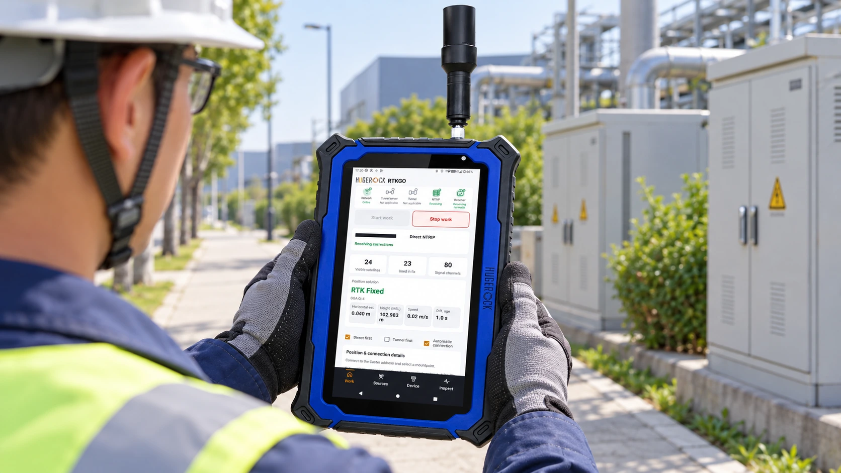
Support repeatable utility mapping and inspection workflows with a known reference source, a rugged field workspace and a clear data-quality procedure.
The field challenge
A useful asset record needs more than a coordinate. The field application, attribute schema, photographs, reference system and positioning quality must remain connected through capture and handover.
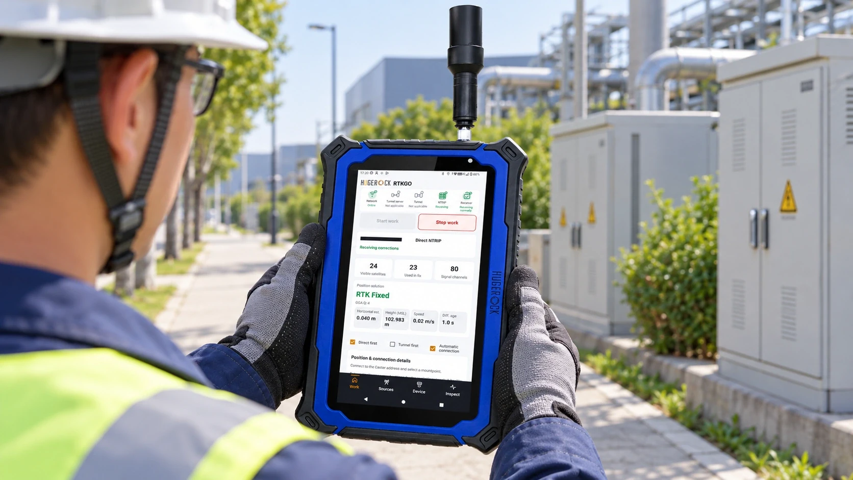
A reference-to-field architecture
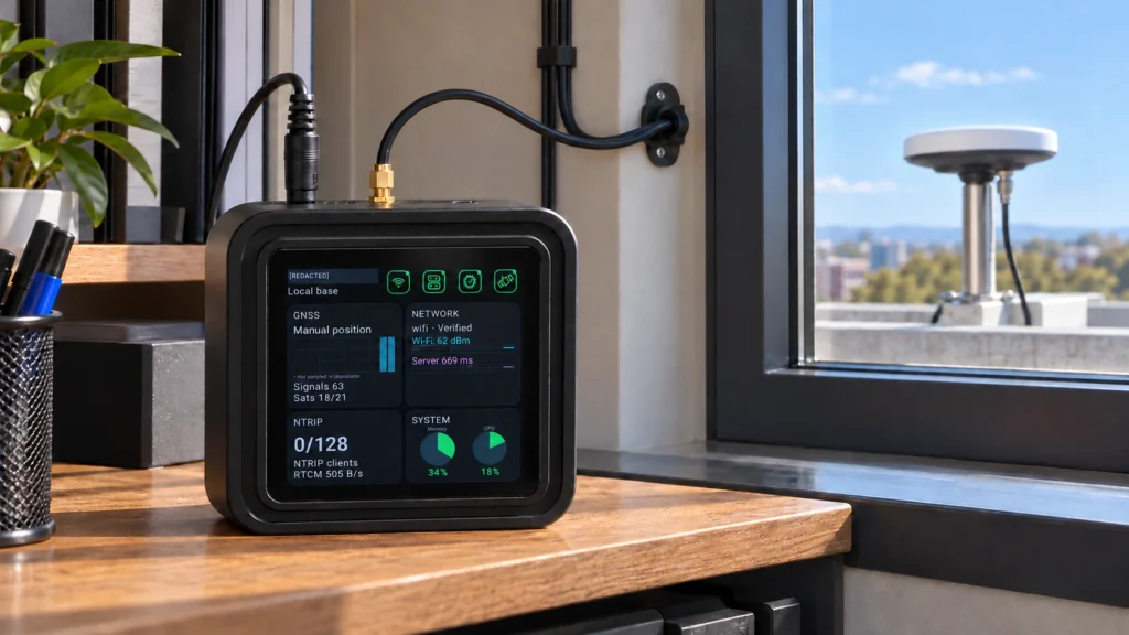
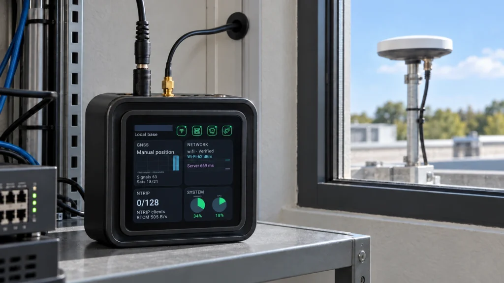
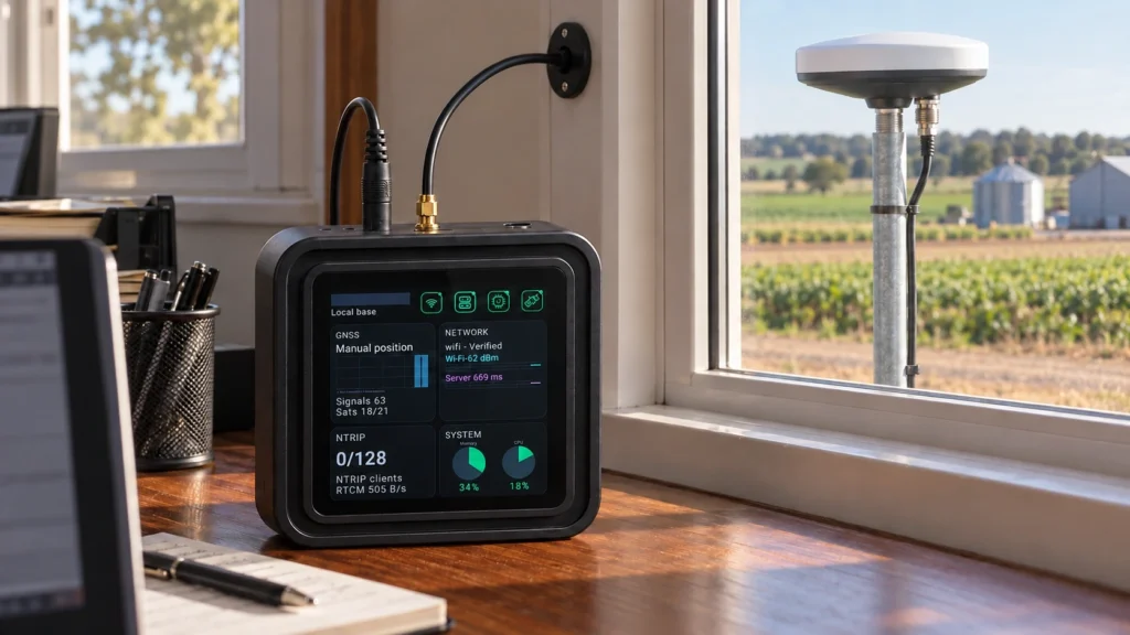
Use one GB30 local base / Caster for a suitable work area, or distribute independent reference stations across separate districts. Assign an appropriate nearby source to each team; the architecture does not imply automatic nearest-station switching.
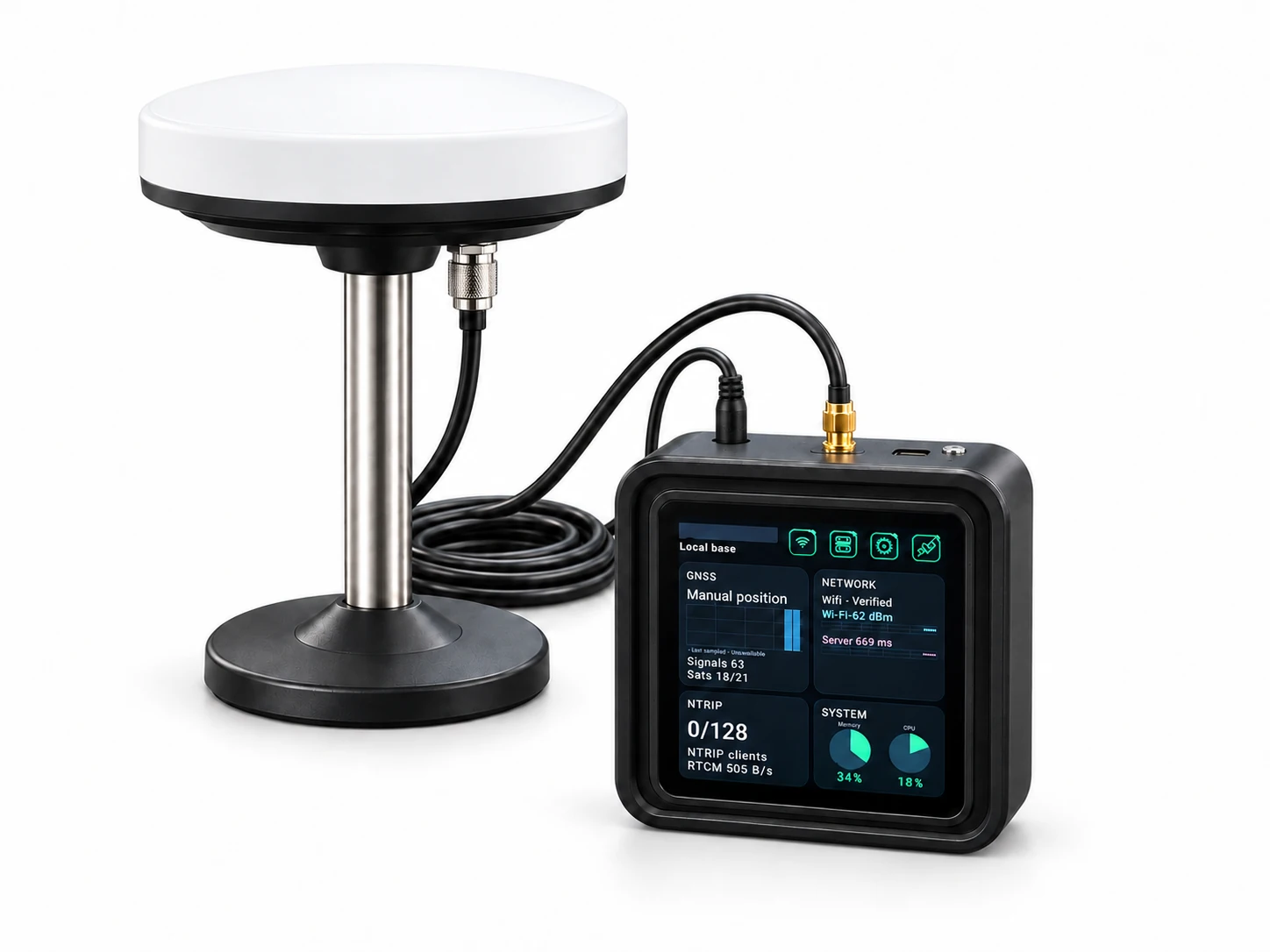
Deployment example
The following illustrates a project workflow; it is not a report of a commissioned customer installation.
A municipal asset team records valve locations, inspection notes and photographs along a service route. A GB30 reference installation supplies correction data while a rugged RTK tablet presents the map and attribute form. Before data is synchronized, the team checks source identity and positioning quality for each observation.
Prepare the GIS project
Define asset layers, required attributes, coordinate reference system and the field application's supported GNSS input.
Assign the reference source
Choose the appropriate GB30 source for the route and confirm correction reception before collecting observations.
Capture the complete record
Collect attributes and inspection imagery in the selected GIS application while reviewing positioning and correction status.
Review and synchronize
Apply the operator's quality checks and synchronization procedure before records enter the central asset database.
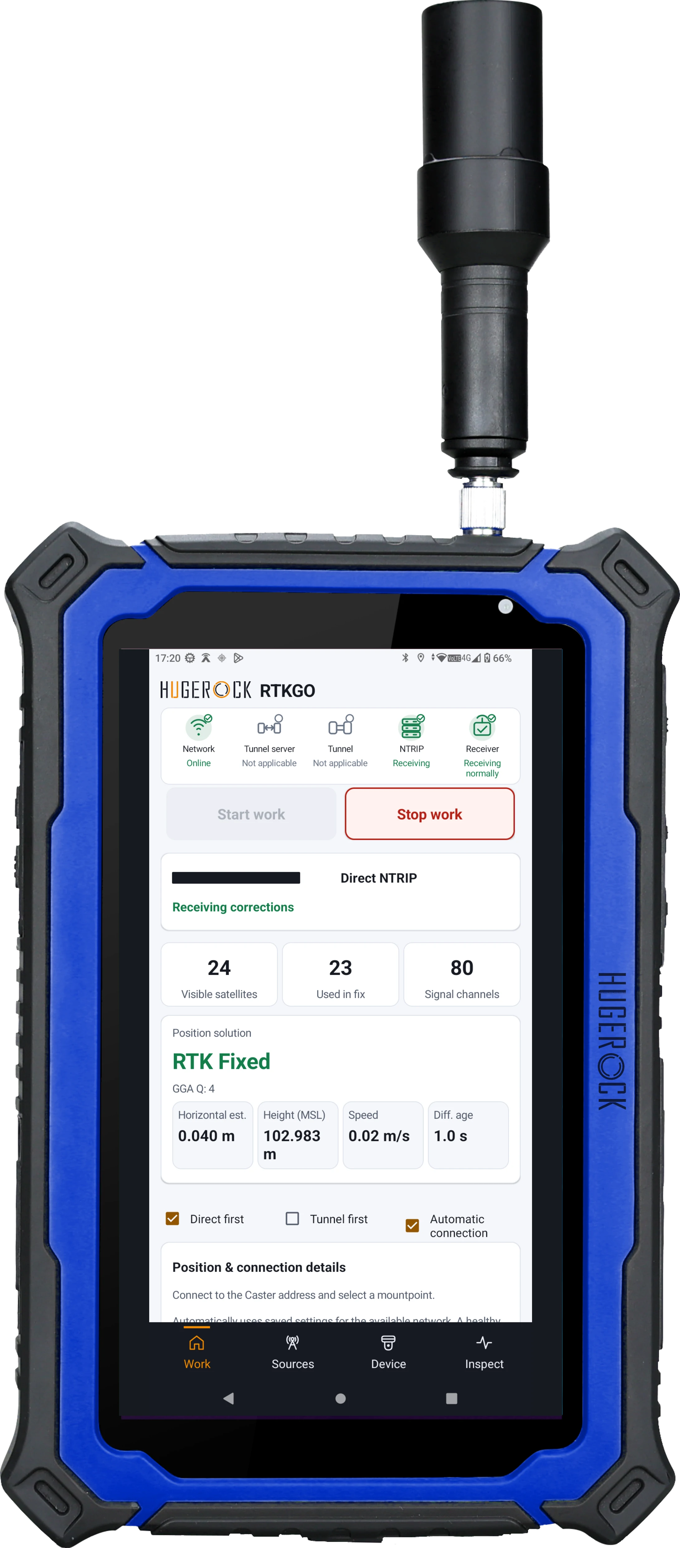
Acceptance and handover
• Correct coordinate reference system and field schema
• A demonstrated GNSS-to-application data path
• Complete attributes, imagery and positioning-quality records
• A tested offline, synchronization and review procedure where needed
Define your quotation
• Which GIS application and data formats must the device support?
• Does the crew prioritize portrait capture, landscape maps or a 5G platform?
• What local storage, camera and synchronization requirements apply?
Common project questions
Is GIS software included with RTKGO?
RTKGO provides correction-connection and positioning status. GIS capture, asset forms and synchronization depend on the selected application and licensing.
Can G71M be evaluated for a QField workflow?
G71M provides a portrait field workspace. Evaluate your QField version, project setup, GNSS input method and licence requirements with the ordered device.
What should a utility mapping trial demonstrate?
Demonstrate reference access, coordinate handling, required attributes, imagery, data synchronization and position checks using representative assets and the actual field application.
Define the GIS capture and positioning workflow
What is needed for RTK utility asset mapping?
Use a compatible GIS application, GNSS device and correction source, plus an agreed coordinate reference system and acceptance checks. Plan how positions, asset attributes, photos and field observations will be stored.
Which display format suits GIS inspection forms?
G60M prioritizes compact carrying, G71M provides a bright 7-inch portrait workspace and G80M provides an 8-inch landscape workspace. Test the actual form layout, map styling and outdoor readability.
Related: G71M high-brightness GIS tablet · G80M landscape mapping tablet · GB30 GNSS base + NTRIP Caster kit