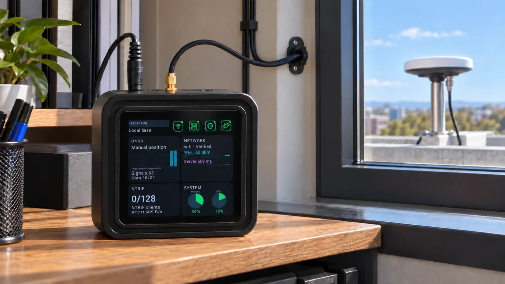
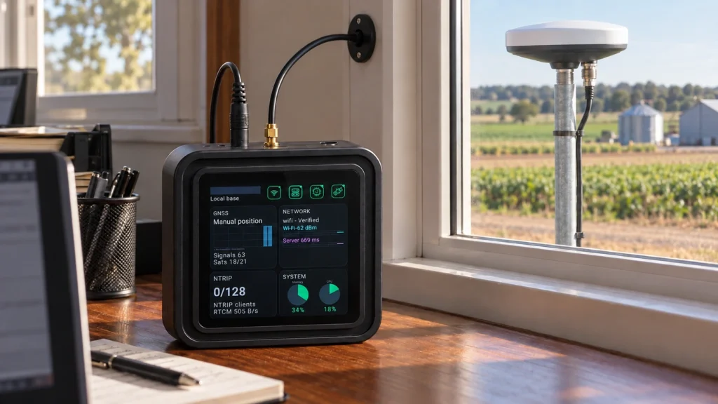
RTK Correction Infrastructure for Outdoor Robotics
Plan fixed GNSS reference corrections for compatible outdoor robots, robotic mowers and autonomous equipment. Validate the robot receiver, correction path and positioning behavior in the real operating area.
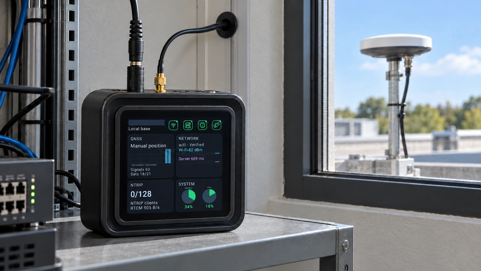
Give compatible robot receivers access to a known GNSS reference source. Validate the reference, network and receiver behavior together with the robot's localization and control system.
The field challenge
Buildings, vegetation and interrupted connectivity can affect GNSS positioning. A robot needs an application-level response to degraded positioning; an RTK correction source cannot establish operational safety on its own.
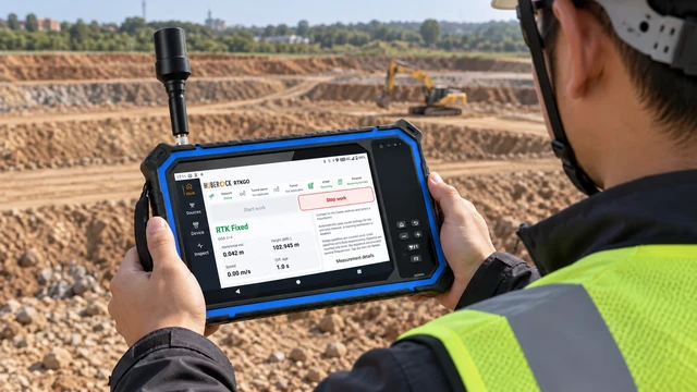
A reference-to-field architecture
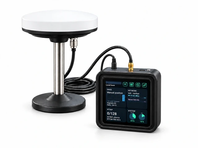
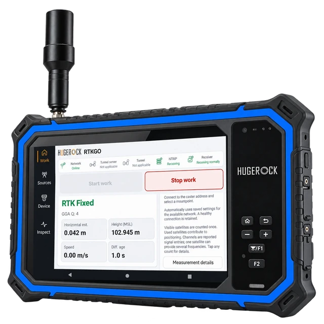
Use the GB30 complete kit as fixed reference infrastructure. Connect a compatible robot-side RTK receiver through the selected correction path. HUGEROCK tablets can support commissioning or operational review when the software fits; choose a vehicle terminal only when its integration requirements match the robot platform.
Deployment example
The following illustrates a project workflow; it is not a report of a commissioned customer installation.
A robotics team evaluates outdoor operations around a landscaped campus. A fixed outdoor antenna and indoor GB30 provide a correction source for compatible robot receivers. The team tests representative routes, shaded areas, network interruptions and recovery before accepting the positioning input for the intended task.
Define the localization contract
Agree the receiver messages, quality indicators, expected timing and how the application combines GNSS with other sensors.
Plan representative routes
Include open sky, buildings, vegetation and expected network transition points in the acceptance route.
Verify degradation behavior
Test correction interruptions and degraded GNSS conditions using the robot supplier's controlled acceptance procedure.
Document deployment limits
Record the validated operating conditions and the localization or control system's required response outside them.
Acceptance and handover
• A verified correction and receiver message path
• Representative route results for the actual operating environment
• Application handling of degraded positioning and recovery
• Robot-system approval under its own operational and safety requirements
Define your quotation
• Which robot-side RTK receiver and correction formats are used?
• How are GNSS quality and correction age passed to the localization system?
• What route conditions, fleet size and network interruptions must the trial cover?
Common project questions
Does GB30 make a robot autonomous?
No. GB30 supplies GNSS reference correction infrastructure. Localization, sensor fusion, route planning, control and operational safety belong to the robot system.
Can this support an RTK robotic mower evaluation?
A compatible mower receiver may use an appropriate reference correction source. Validate the receiver format, client path, operating area and mower supplier's integration requirements before deployment.
Is GNSS sufficient in every outdoor robot environment?
No. Obstructions and operating conditions can degrade GNSS. The robot application must evaluate positioning quality and use the localization and safety approach appropriate to the task.
Evaluate positioning within the complete autonomy system
Can an outdoor robot use GB30 corrections?
A compatible robot GNSS receiver or positioning subsystem can use a suitable GB30 correction stream. Confirm supported RTCM messages, NTRIP or tunnel software, data interfaces and correction-age handling.
Does RTK replace robot navigation and safety sensors?
No. RTK supplies positioning information within a larger system. Perception, path planning, obstacle handling, safety functions and behavior during GNSS or network loss remain part of the robot design.
Related: GB30 GNSS base + NTRIP Caster kit · Correction-data connection paths · Request a project quotation