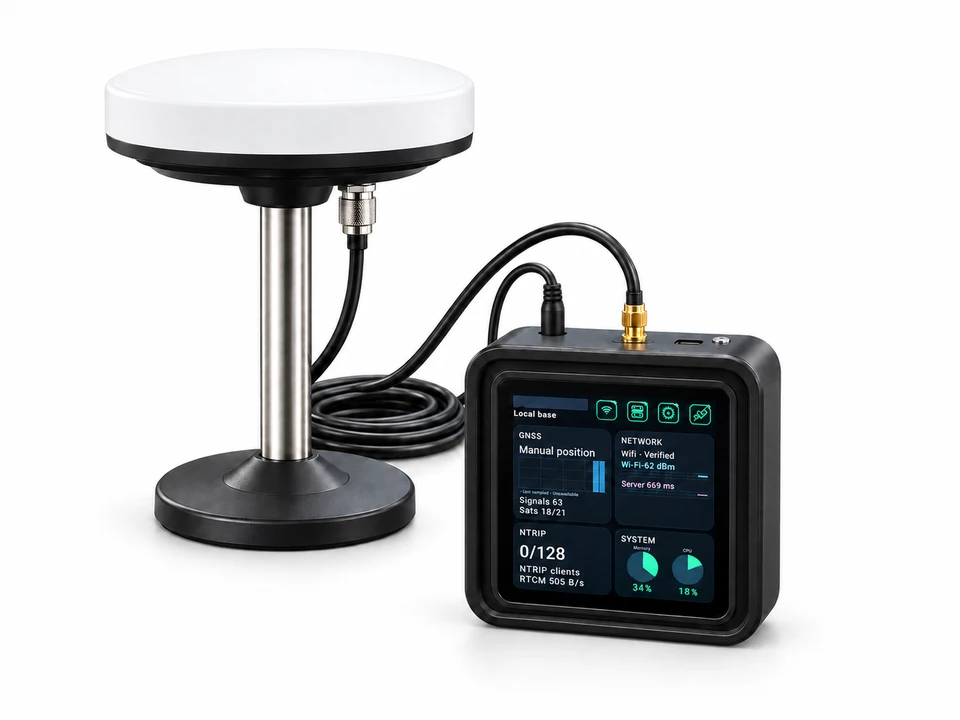
Plan GNSS reference infrastructure and professional RTK field workflows for land surveying, GIS utility mapping, precision agriculture, construction, vehicle positioning and outdoor robotics.
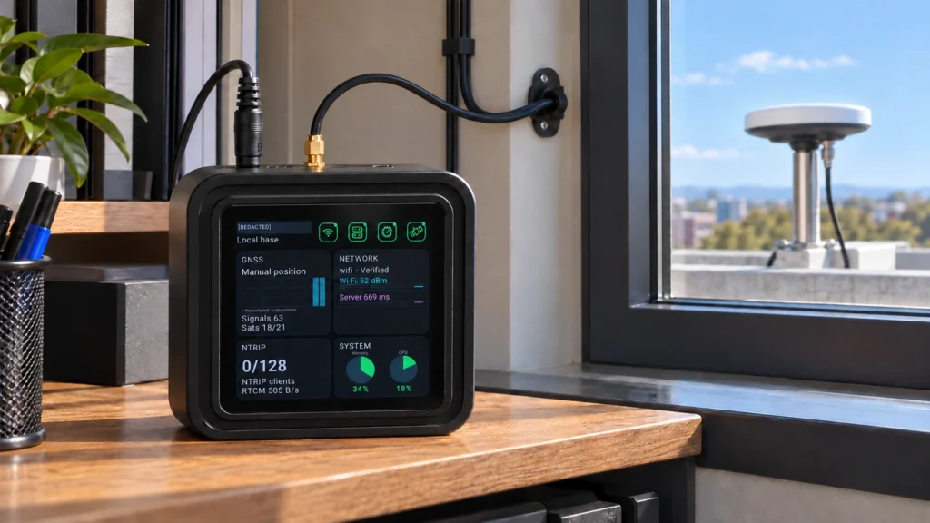
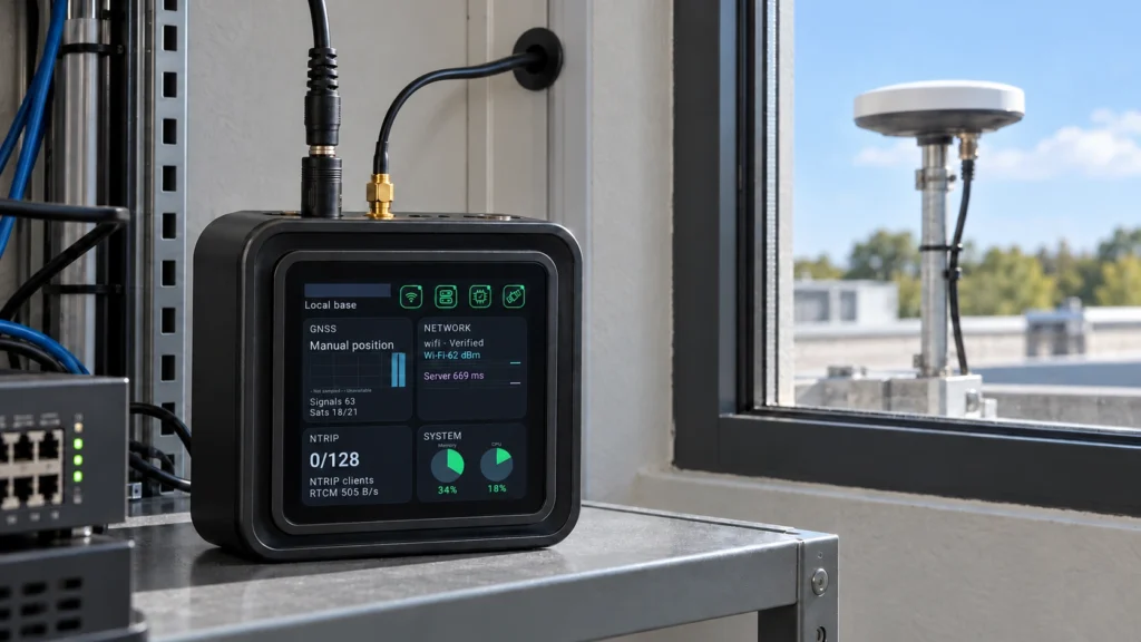
Plan fixed GNSS reference infrastructure for survey control, boundary observations and topographic data collection. Connect compatible RTK rovers and rugged field devices to the GB30 reference service.
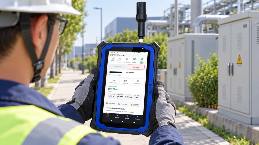
Connect GIS field teams to GNSS reference corrections for utility asset mapping, infrastructure inspections and spatial data collection. Match G60M, G71M or G80M to the map and attribute workflow.
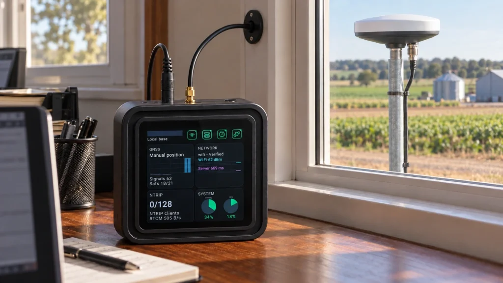
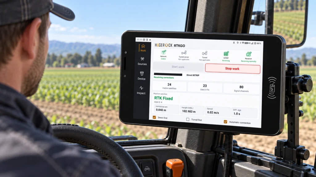
Plan a fixed GNSS reference service for tractors, agricultural vehicles and compatible farm positioning terminals. Define correction access, field coverage and machine integration before deployment.
Plan fixed GNSS reference corrections for construction site control, layout checks and field inspection records. Select rugged field devices and validate the complete workflow against site control.
Integrate vehicle RTK positioning and dual-antenna heading with the GK101M terminal. Plan the GB30 correction source, external antenna pair, DC supply and machine-side data interfaces together.
Plan fixed GNSS reference corrections for compatible outdoor robots, robotic mowers and autonomous equipment. Validate the robot receiver, correction path and positioning behavior in the real operating area.